Pointe-Noire International Airport
Characteristics
01/ 01/ 2018
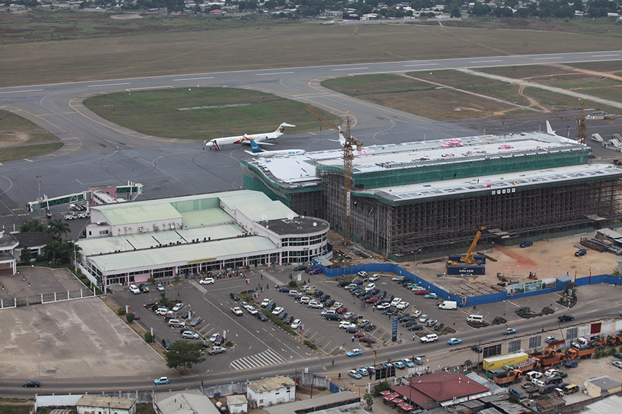
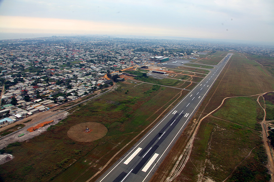
Pointe-Noire International Airport, Republic of Congo
Pointe-Noire
Pointe-Noire International Airport, Republic of Congo
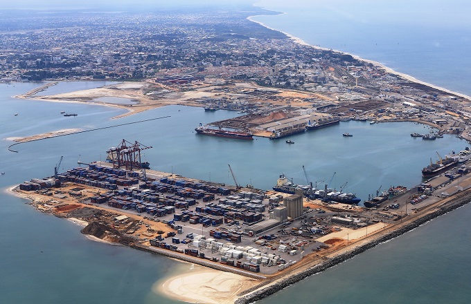
Covering an area of 1,645 hectares, the Pointe-Noire autonomous port has just gained new land of 60 hectares on the sea thanks to the backfilling work currently being carried out there, through deepening and dredging of the port basin around Ilogs, a subsidiary of the national oil company of Congo (SNPC).

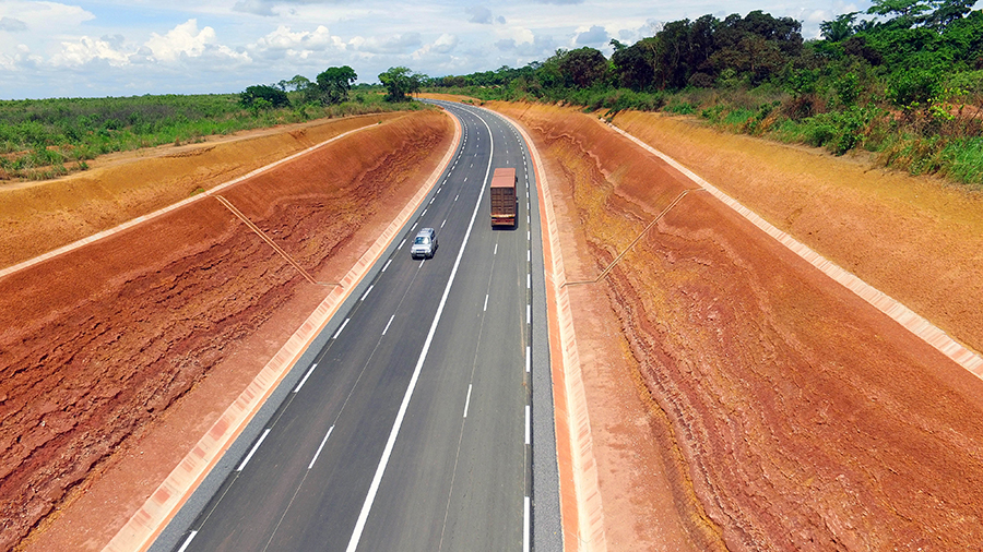
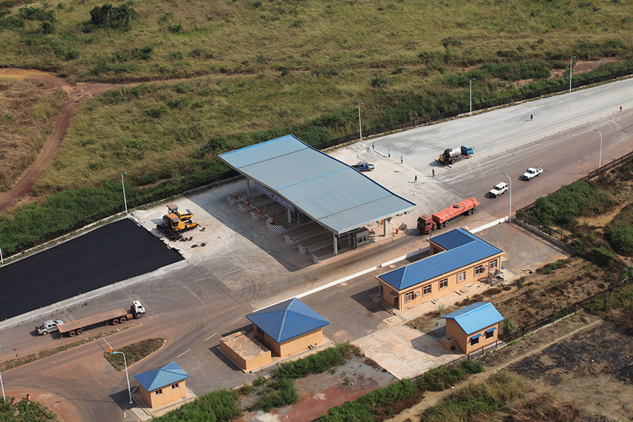
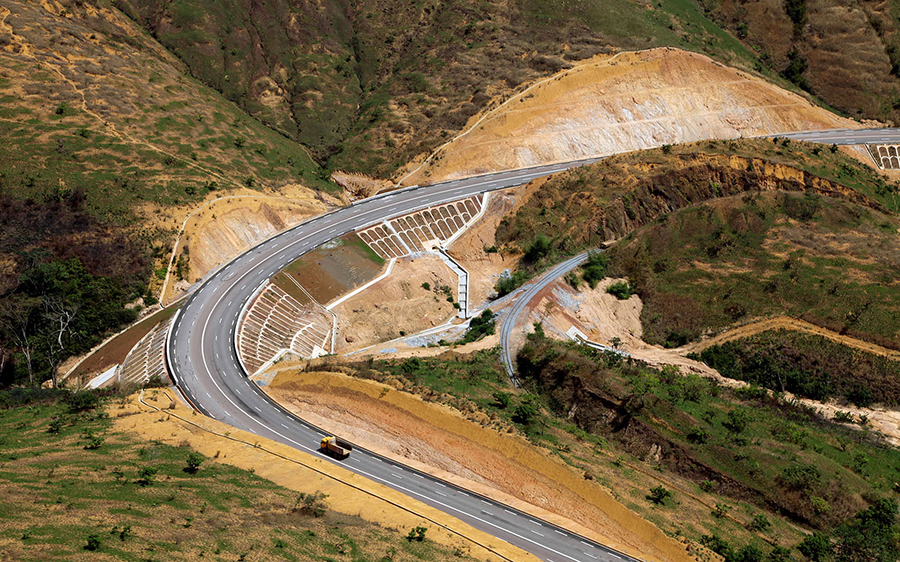
Lorem Ipsum is simply dummy text of the printing and typesetting industry. Lorem Ipsum has been the industry's standard dummy text ever since the 1500s, when an unknown printer took a galley of type and scrambled it to make a type specimen book. It has survived not only five centuries, but also the leap into electronic typesetting, remaining essentially unchanged. It was popularised in the 1960s with the release of Letraset sheets containing Lorem Ipsum passages, and more recently with desktop publishing software like Aldus PageMaker including versions of Lorem Ipsum.
Copyright © 2021 Republic of Congo – Ministère de l’Aménagement du Territoire des Infrastructures et de l’Entretien Routier | Mentions légales
Developed By KUBE TECHNOLOGIES